Categories
Environment India News

Researchers use satellites for faster flood information

Professor Stuart Phinn said the technique could play a vital role in protecting Australians during future flooding events…reports Asian Lite News

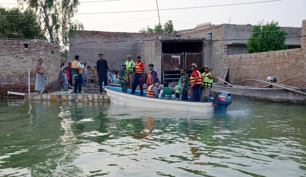
Researchers at The University of Queensland have used satellites with radar imaging sensors to see through clouds and map flooding and say the technique could provide faster, more detailed information to keep communities safe.

Professor Noam Levin from UQ’s School of Earth and Environmental Sciences said the project combined images from optical satellites with information from imaging radar satellites. “Monitoring floods in towns and cities is challenging, with flood waters often rising and then receding in a few days,” Professor Levin said.

“While large satellites in the past provided images every 7-14 days, now groups of small satellites can collect several images a day over the same location.

“Radar imaging sensors can provide images at night or on days with thick cloud cover — a huge advantage in stormy conditions.

“They use a flash, like on a camera, and the light is sent at wavelengths between 1mm and 1.0m, which can pass through clouds and smoke.”

During Brisbane’s February 2022 floods, researchers combined satellite day-time pictures showing the extent of the flood with imaging radar and optical night-time data of the lights associated with human activity.

“We could see which areas became dark as the flood waters encroached,” Professor Levin said.

“We matched this with data from river gauges operated by the Bureau of Meteorology, and with changes in electricity loads reported by Energex, the power supplier.”

Professor Stuart Phinn said the technique could play a vital role in protecting Australians during future flooding events.

“In combination with existing flood monitoring and modelling technologies, satellites could change the way we monitor major flood events, understand how they occur, and direct emergency and other responses,” Professor Phinn said.

“With faster update times — at least twice a day — and more accurate and timely data, agencies monitoring the floods can assess changes and alert people in at-risk areas.

“This technique can also be used post-disaster to assess the extent of damage, direct recovery efforts and for the assessment of insurance claims.”

The team used optical satellites from Planet Inc. and from NASA’s VIIRS, as well as imaging radar satellites from Capella.

The research has been published in Remote Sensing. (ANI)

ALSO READ-ISRO places 36 ‘OneWeb’ satellites into orbit

Categories
Arab News

Iran says plans to send up more satellites in 2022

In March, the IRGC’s Aerospace Force successfully launched the Noor-2 reconnaissance satellite at an altitude of 500 km, using the Qased carrier…reports Asian Lite News

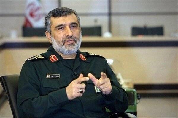
Iran’s Islamic Revolution Guards Corps (IRGC) plans to launch more satellites in 2022, Amir Ali Hajizadeh, commander of the IRGC Aerospace Force, has announced.

“We will put new satellites in orbit with the Qaem satellite carrier this year,” Hajizadeh was quoted by official IRNA news agency as saying.

He made the remarks on the sidelines of a gathering of the IRGC commanders in the capital Tehran.

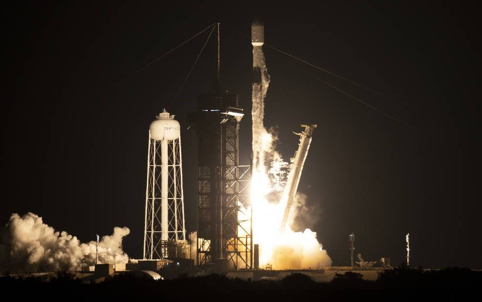
In March, the IRGC’s Aerospace Force successfully launched the Noor-2 reconnaissance satellite at an altitude of 500 km, using the Qased carrier.

Noor-2 is Iran’s second military satellite sent into Low Earth orbit following its predecessor Noor-1, which was carried by the Qased rocket in April 2020 to an orbit of 425 km above the earth’s surface.

ALSO READ-‘Arab states seek good ties with Iran’

Categories
India News Science

ISRO plans to launch 75 student satellites

Three student-built satellites known as UNITYSat were launched by ISRO’s rocket Polar Satellite Launch Vehicle (PSLV) in 2021 and now the students are building the 75 satellites based on the learnings from that project…reports Asian Lite News

As part of celebrating 75 years of India’s Independence, a constellation of 75 student satellites is planned to be launched in a year’s time, said M. Annadurai, a former Director of Indian Space Research Organisation (ISRO).

Annadurai said: “The Indian Technology Congress Association (ITCA) has initiated the ambitious 75 student satellites constellation programme with various Indian educational institutions.”

The satellites will be built by the students and launched by ISRO rockets in phases.

“We are planning to launch three or four satellites sometime this year. The balance satellites are expected to be launched before 2023,” Annadurai, who is also a Mentor-Advisor to ITCA, said.

In order to ready the 75 satellites, an Indian space startup will be supplying the satellite kit so that the students at various universities can assemble the same and cutting short the development time, Annadurai added.

Three student-built satellites known as UNITYSat were launched by ISRO’s rocket Polar Satellite Launch Vehicle (PSLV) in 2021 and now the students are building the 75 satellites based on the learnings from that project.

According to ITCA, the UNITYSat’s resounding success opened the door for a plethora of satellite developmental possibilities that leveraged the domain knowledge garnered in small satellite platforms.

With this accomplishment, ITCA mentored and promoted two spin-off companies, TSC Technologies in India and TMISAT in Israel, in 2020, to apply its SpaceTech team’s research and consultancy breakthroughs to the development of SmallSats, ITCA said.

Annadurai said the project will give the students hands-on experience in building and managing the ground stations.

“We are also aiming for inter-satellite communication. The satellites will also take pictures during its lifetime estimated to be between six months to one year,” he added.

Each educational institution involved in the project will be spending about Rs.80 lakh towards satellite and ground station network. All the educational institutions part of the project will have access to all the satellites in the constellation, Annadurai said.

According to ITCA, with the initial backing of organisations/agencies from Israel, Russia, Serbia, and Japan, the mission has expanded with over 50 countries contributing to build strong capabilities in academic institutions for the design and development of student-built SmallSats.

Annadurai said foreign institutions that are part of the project can have access to the satellite data when the satellites pass over their nation.

ALSO READ-Jitendra Singh: ISRO plans to develop space telescope